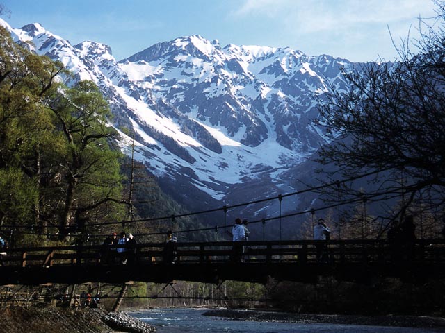
A pristine alpine valley beneath the Hotaka peaks, laced with clear rivers, ponds and easy riverside trails.
Kamikochi is a high mountain valley in the Northern Japan Alps, sitting at around 1,500 metres within Chubu-Sangaku National Park. Stretching roughly 18 kilometres along the crystalline Azusa River, it is one of Japan's most celebrated natural landscapes and the gateway for climbers heading up the Hotaka and Yari mountains that rise sharply on every side.
The valley's history as a destination is tied to a British missionary, Walter Weston, who introduced recreational mountaineering to Japan in the late 19th century and is commemorated with a relief plaque and an annual festival here. Before that, Kamikochi was known mainly to woodcutters and hunters; today it is a protected reserve where private cars are forbidden, keeping the air clean and the soundscape dominated by running water and birdsong.
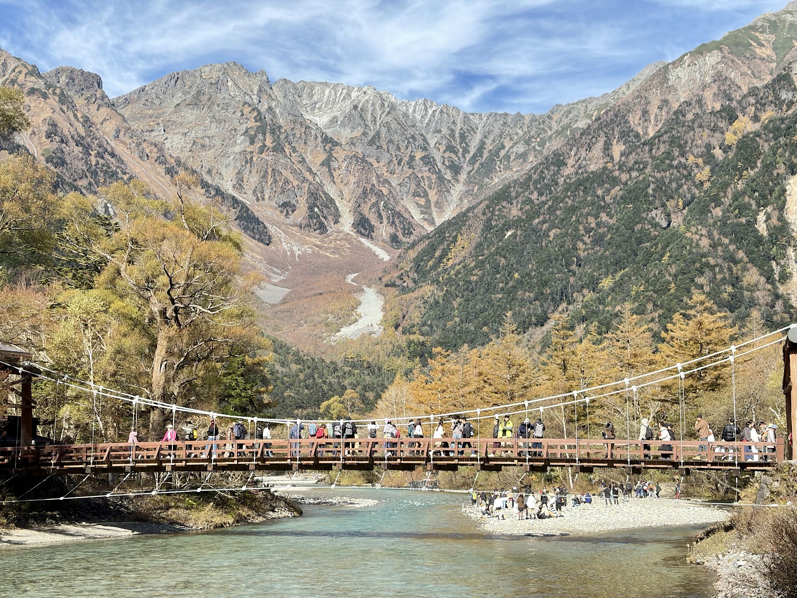
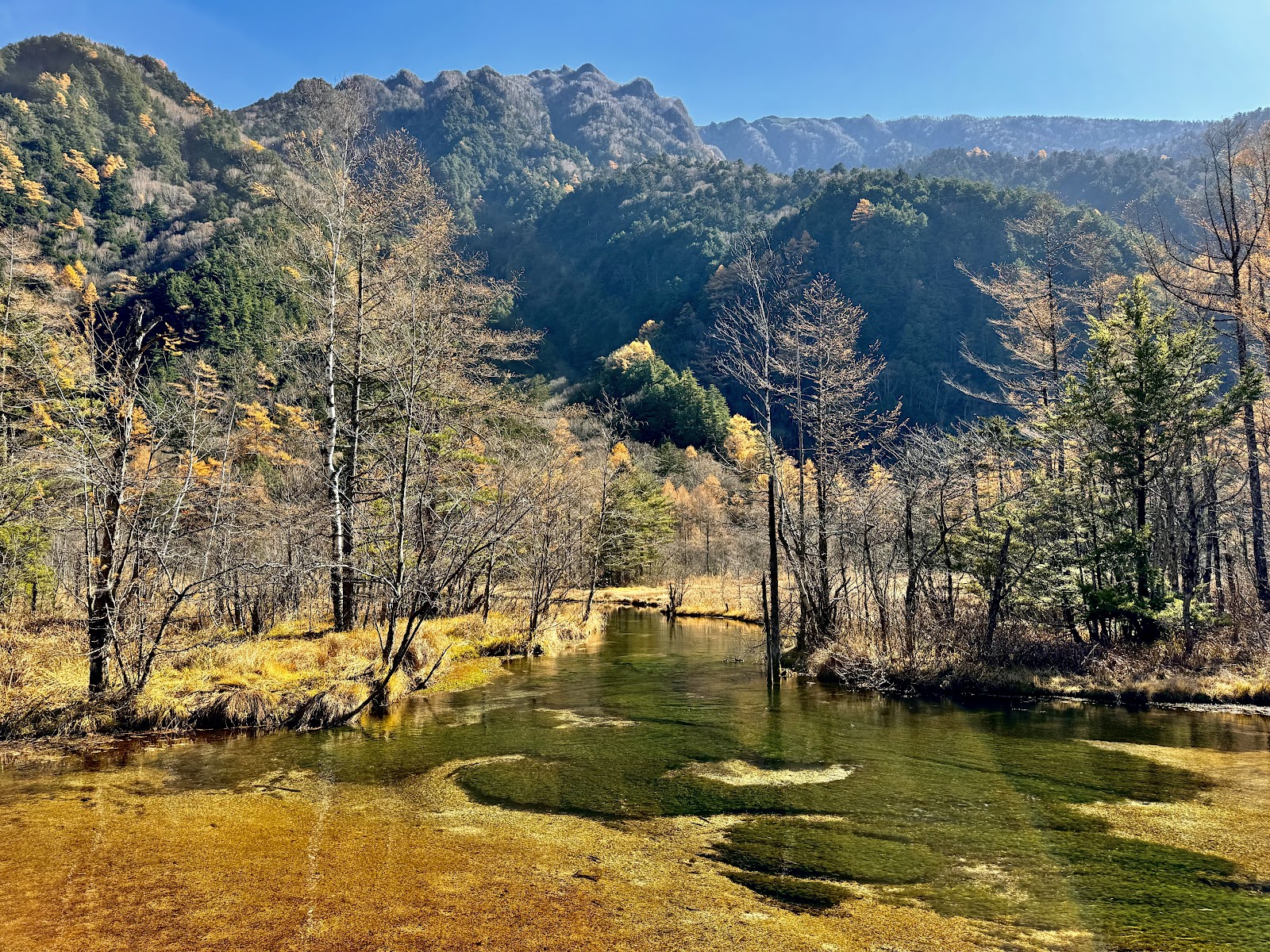
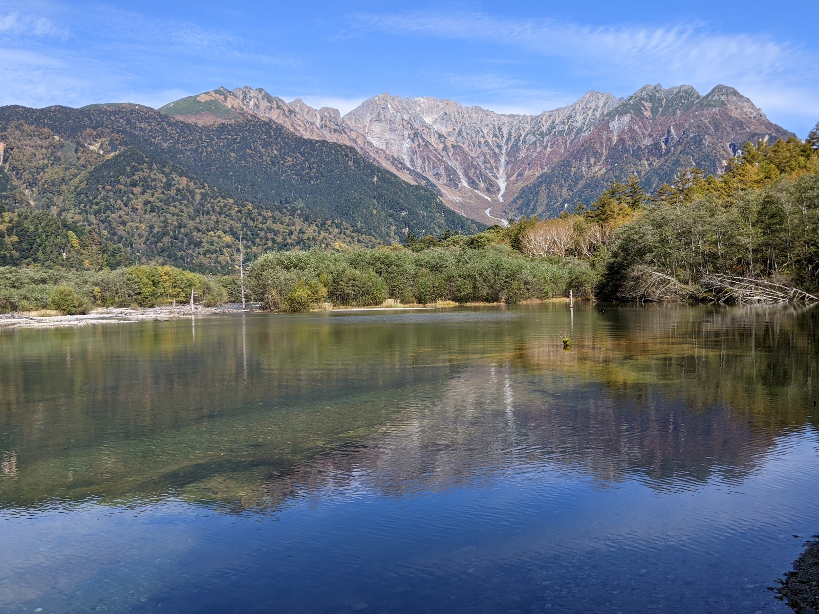
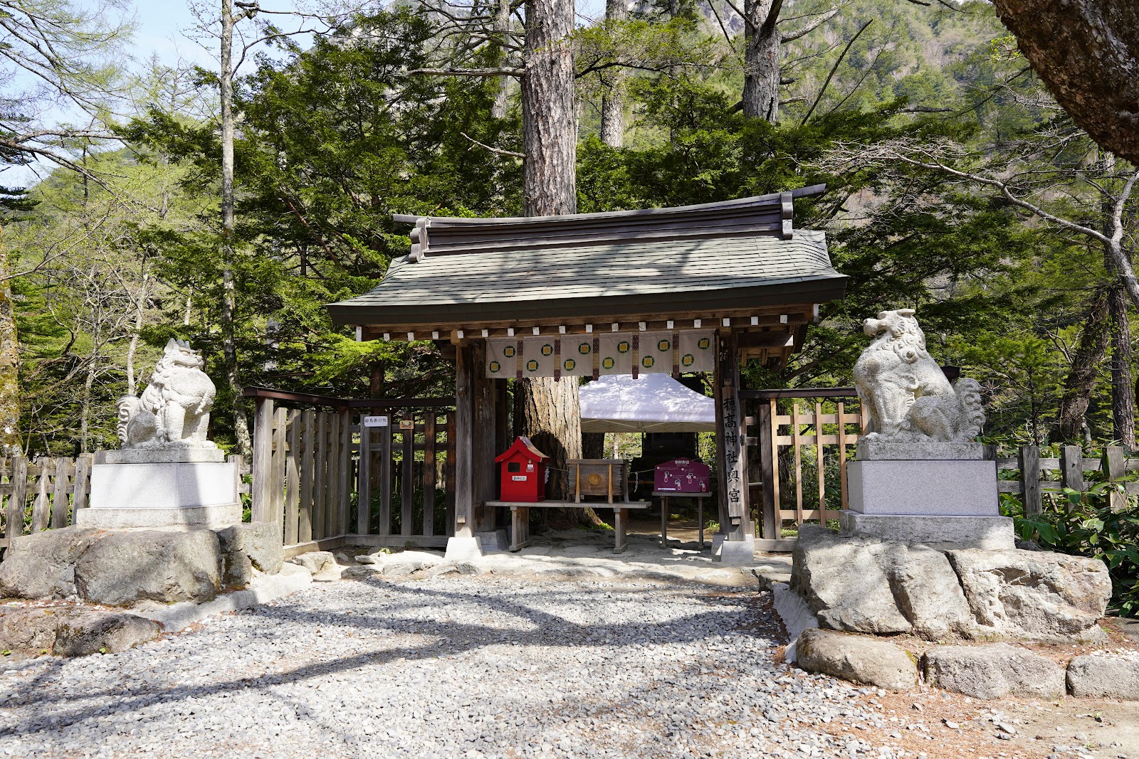
The scenic heart is Kappa Bridge, a wooden suspension span over the Azusa that frames the jagged Hotaka range. From here, flat, well-marked paths run in both directions. Downstream lies Taisho Pond, formed when a 1915 eruption of nearby Mt. Yake dammed the river, its still surface reflecting bare tree trunks and snow-streaked peaks. Upstream, an easy hour's walk leads to Myojin Pond and the small Hotaka Shrine, where the water is fed by mountain springs and remains glassy and cold all summer.
Wildlife is part of the experience: Japanese macaques forage along the banks, and if you are lucky you may glimpse a spotted nutcracker or a serow. The mixed larch and birch forest turns gold and copper in October, making autumn the most photographed season, while fresh green early summer and the wildflowers of the marshy Tashiro Wetlands draw those who prefer cooler, quieter walks.
Most visitors come as a day trip, but a handful of lodges and campsites let you stay overnight to catch the alpenglow on the peaks at dawn and dusk, when the day crowds have gone. Even without climbing, the loop from Taisho Pond to Myojin and back is achievable for anyone of average fitness in three to five hours, almost entirely on the level.
Because it sits so high, Kamikochi can be chilly even in midsummer, and mornings often bring mist that lifts to reveal the mountains; bring a layer and sturdy shoes. Access is seasonal, opening in mid-April and closing when the snow returns in November. To get here, travel from Matsumoto on the Alpico railway to Shin-Shimashima and continue by bus, or approach from the Takayama side via Hirayu Onsen. The final stretch is always by bus or taxi, part of the strict conservation rules that have kept this valley pristine for over a century.
For many travellers, Kamikochi is the single most beautiful place in the Japan Alps, a rare combination of dramatic high peaks and gentle, accessible walking that rewards a slow, unhurried visit.
A local's tip
Arrive before 9am to walk from Kappa Bridge to Myojin Pond before the day-trip crowds; the reflection of the Hotaka peaks in Taisho Pond is sharpest in the first hour of light.
Best time to visit
Mid-morning, late May to late October
Getting there
From Matsumoto take the Alpico line to Shin-Shimashima, then a bus to Kamikochi. Private cars are banned; transfer to bus or taxi at Sawando or Hirayu. The valley is closed by snow from mid-November to mid-April.
Good to know
- Restrooms
- Restaurants
- Visitor Center
Plan the whole trip offline
Kamikochi is one of many places in the Real Japan app — with turn-by-turn directions, nearby spots and full offline maps you can use with no signal.