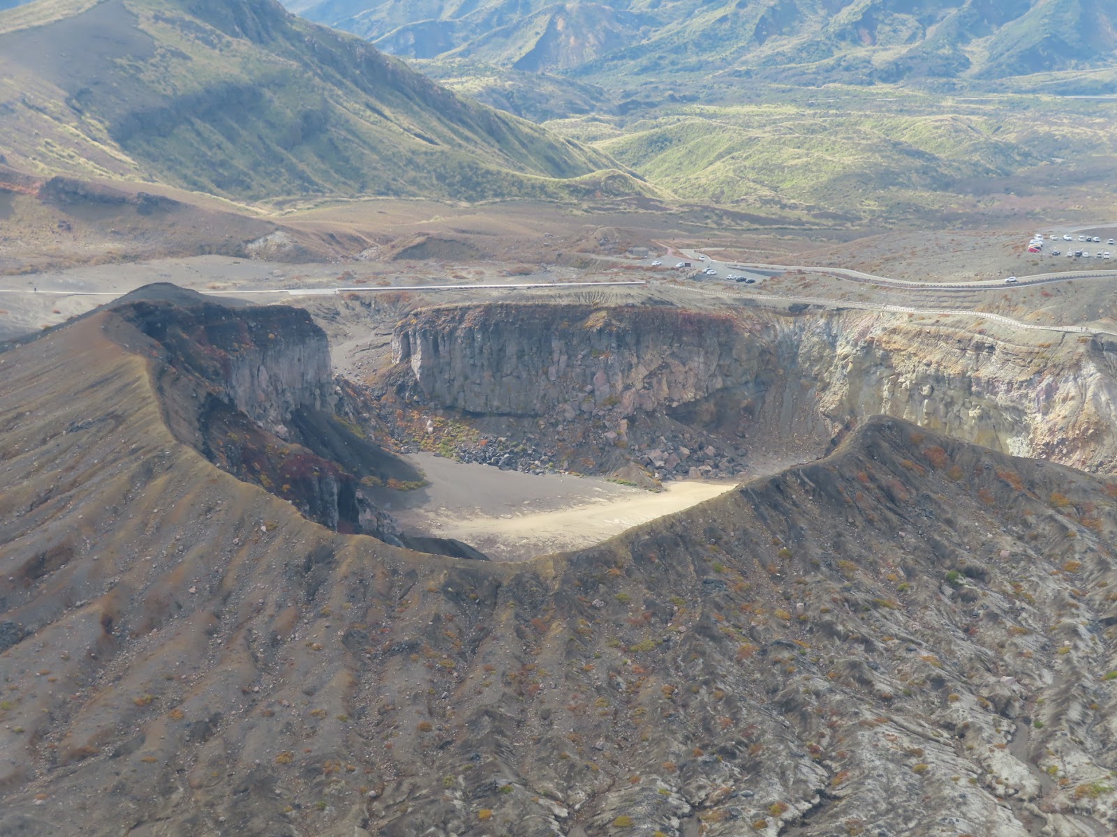
The 1,592-metre high point of the Aso Five Peaks, a demanding climb rewarded with the caldera's loftiest, most complete panorama.
Mount Takadake is the roof of Aso. At 1,592 metres it is the highest of the five central peaks and the summit of the entire caldera, and from its top the whole volcanic landscape of central Kyushu unfolds in every direction. For serious hikers it is the definitive Aso objective, combining real mountain effort with the reward of standing at the very apex of one of the world's great volcanic complexes.
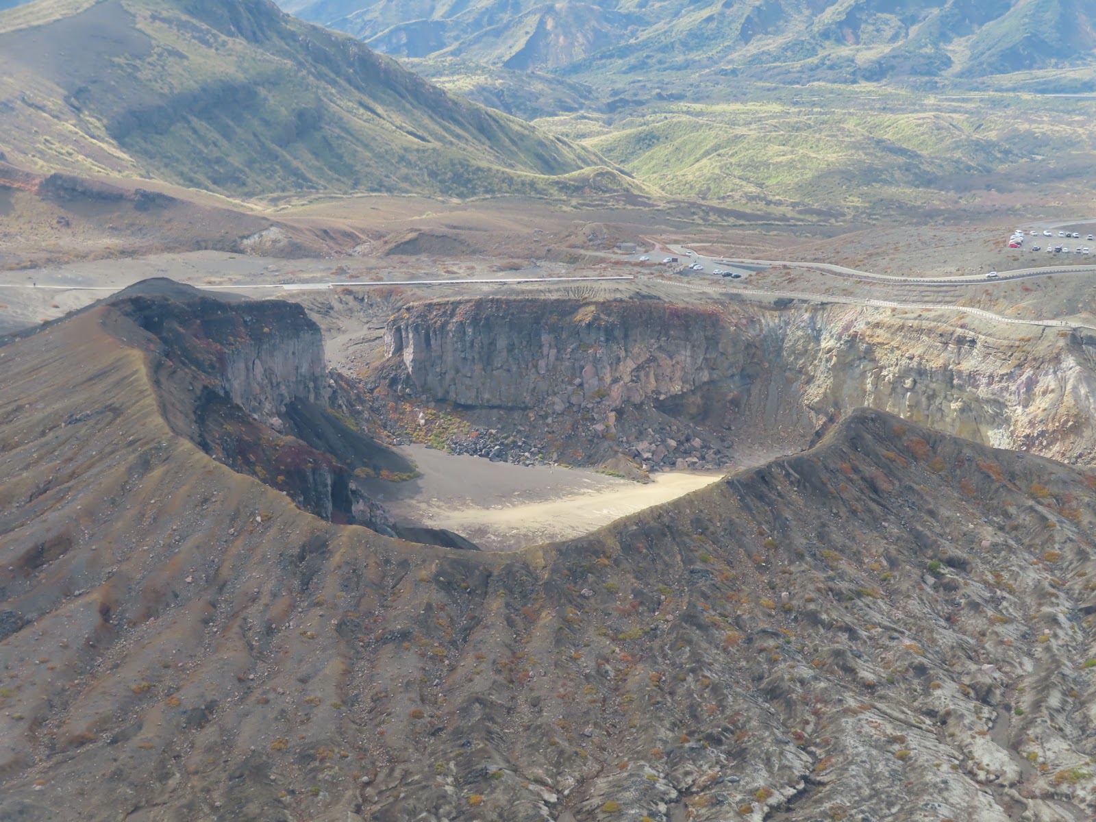
Unlike the gentle grass domes of Kijimadake and Eboshidake, Takadake is a proper mountain, and reaching its summit is a full-day undertaking. The most popular approaches climb from the Sensuikyo area on the eastern flank or traverse from the Nakadake side, gaining height over rocky, sometimes loose volcanic terrain with long exposed stretches and considerable ascent. Sturdy boots, water, weather protection and a genuine level of hill fitness are essential, and the route can take five hours or more round trip. The payoff is total: a summit panorama taking in the smoking Nakadake crater just below, the sea of surrounding peaks, the immense circular floor of the caldera dotted with farms and towns, and the distant ranges of Kyushu fading blue on the horizon.
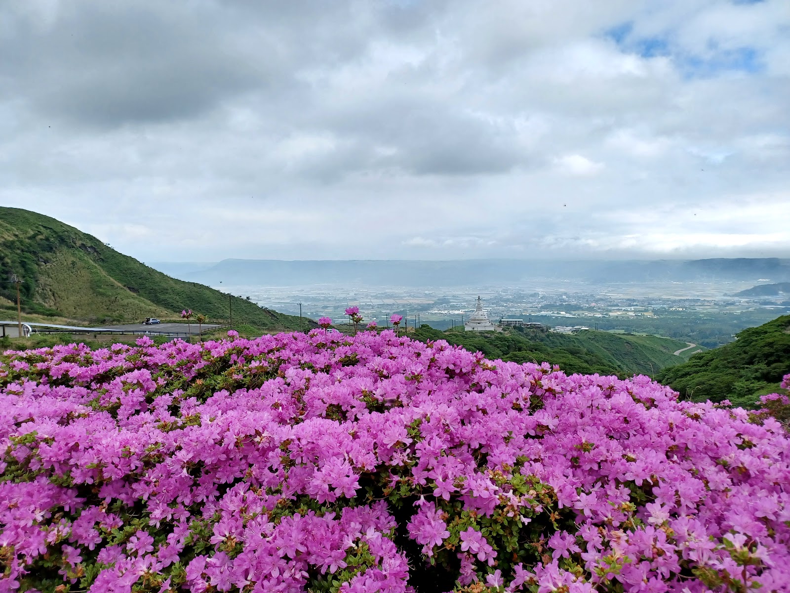
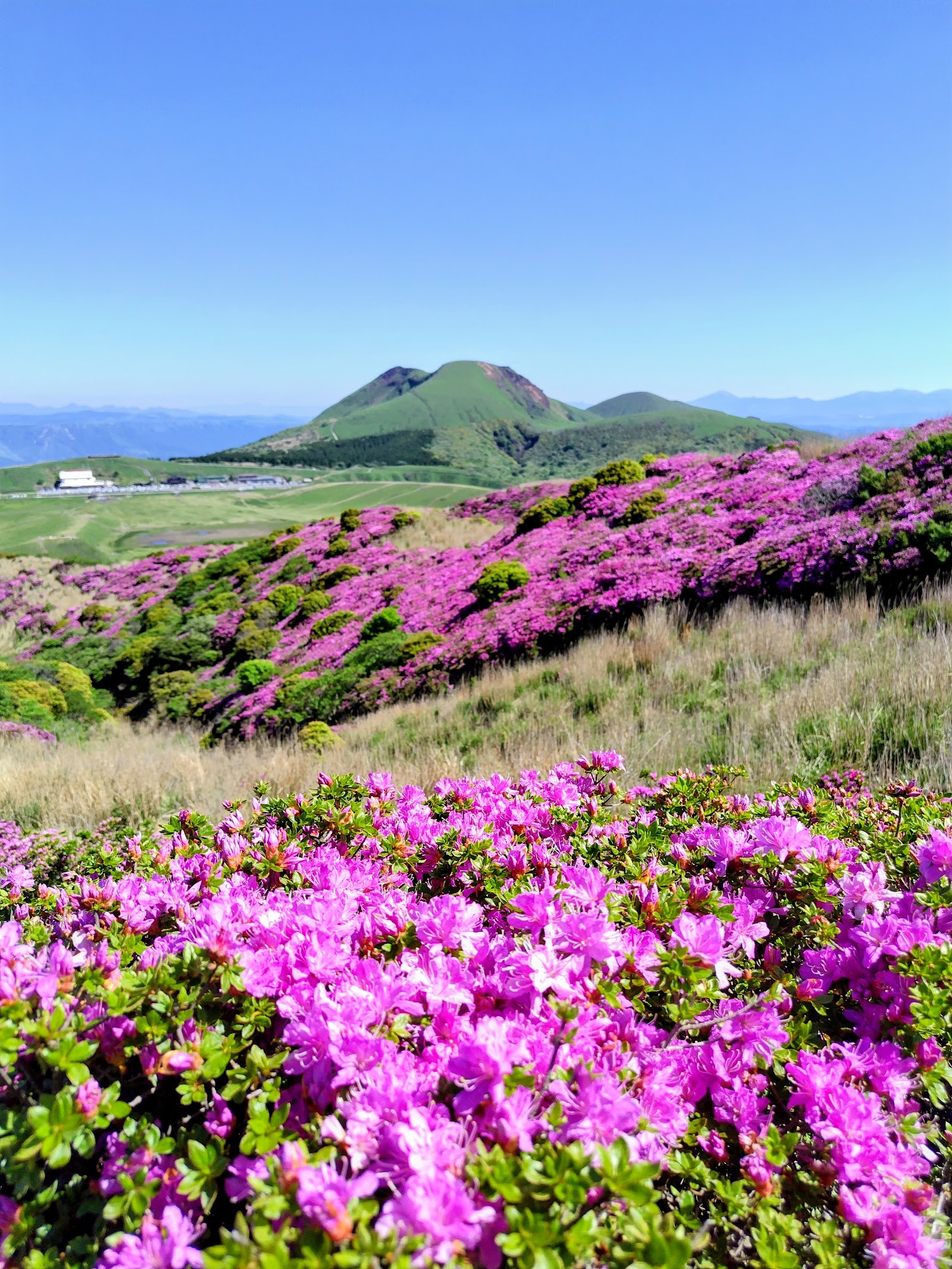
Takadake's slopes are famous for one of Aso's greatest natural spectacles. In late May and early June the eastern flanks around Sensuikyo erupt in wild Miyama Kirishima azaleas, blanketing the hillsides in vivid pink and drawing walkers from across the country. Even those not attempting the summit come to see this bloom, and the lower Sensuikyo trails offer a taste of the mountain's grandeur without the full climb. Autumn brings its own colour as the grasses and shrubs turn, and clear late-year air makes for the sharpest long-distance views.
As the high point of the central cone group, Takadake also tells the caldera's geological story from the top down. The peak is part of the cluster of stratovolcanoes and cones that grew on the caldera floor after the four cataclysmic eruptions that formed the basin. From the summit you can trace the relationships between the peaks, the active vent, and the encircling outer rim, seeing at a glance how the living volcano sits within the ruin of its far larger ancestor.
A crucial practical point governs any visit: Takadake stands beside the active Nakadake crater, and access on the summit side is directly affected by volcanic alert levels. When gas emissions or eruptive activity rise, the authorities restrict entry to zones near the crater, which can close some approach routes at short notice. Always check the current volcano warning level and any exclusion zones before setting out, and be ready to change plans. Drive to the Sensuikyo or Aso-san Nishi trailheads, start early to allow plenty of daylight, and treat the mountain with the respect a live volcano deserves. For the well prepared, Takadake offers the highest, most complete view in all of Aso.
A local's tip
In early June the Sensuikyo slopes below Takadake blaze with wild Miyama Kirishima azaleas, turning the approach into a carpet of pink.
Best time to visit
Clear days late spring to autumn
Getting there
Reached on foot from the Sensuikyo area or the Nakadake side; access depends on current volcanic restrictions around the active crater. Drive to Sensuikyo or the Aso-san Nishi area and hike in; check the volcano warning level first.
Good to know
- Parking
- Restrooms
Plan the whole trip offline
Mount Takadake is one of many places in the Real Japan app — with turn-by-turn directions, nearby spots and full offline maps you can use with no signal.