At 159m, the highest point in Kamakura, an open ridge summit on the Ten-en course with views over town, bay and Mt Fuji.
Mount Ohira, or Ohirayama, is the highest point in Kamakura City at 159.2 metres, sitting on the northeastern edge of the municipality right on the border with Yokohama's Sakae Ward. Though its elevation is modest, its position atop the ridge known affectionately as the 'Kamakura Alps' gives it an unusually open and expansive outlook. The summit itself is a broad grassy clearing, a rarity among the tightly forested hills around Kamakura, and this openness is exactly what makes it such a fine viewpoint.
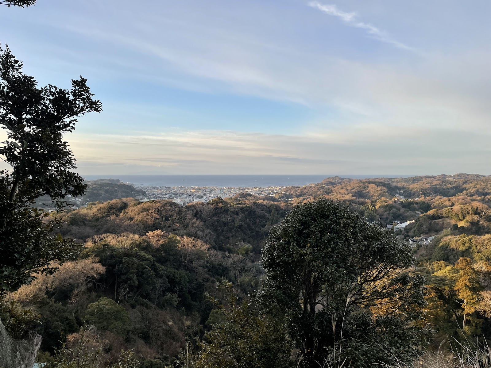
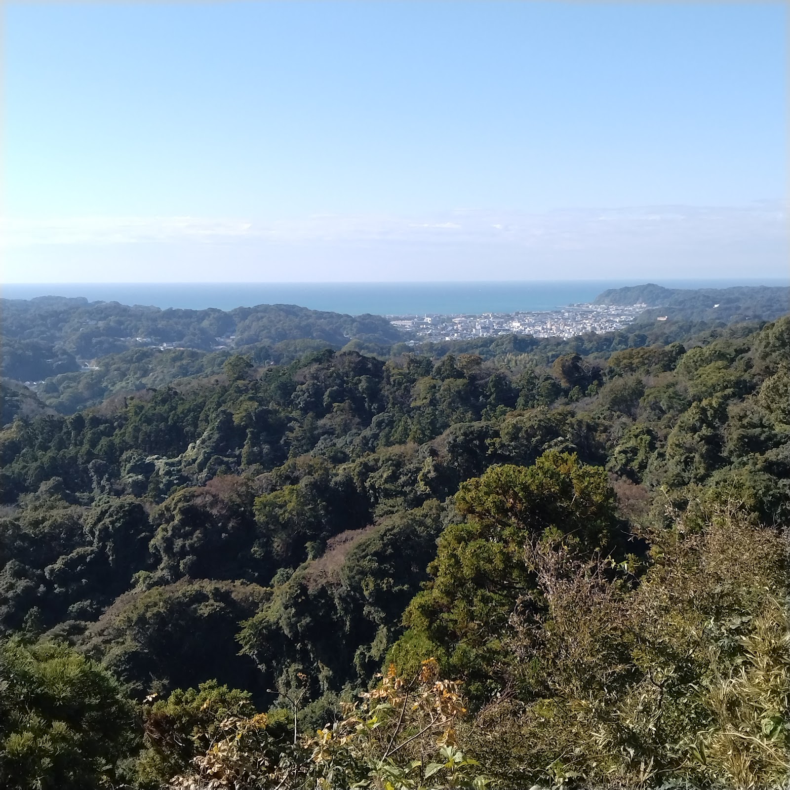
From the meadow and the ridge path just below it, the view sweeps south over the wooded valleys and rooftops of Kamakura to the shining arc of Sagami Bay, and on clear days the cone of Mt Fuji floats on the western horizon beyond the nearer hills. Because the summit is a hub where several trails meet, the panorama shifts as you walk the ridgeline, revealing the town from one angle and the open sea from another. The grassy top invites walkers to spread out, rest and eat, and it is one of the most popular lunch stops on the entire Ten-en circuit.
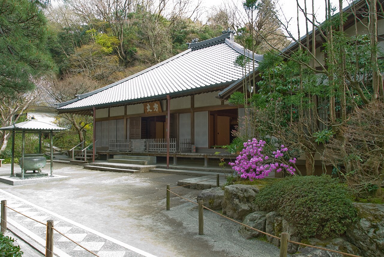
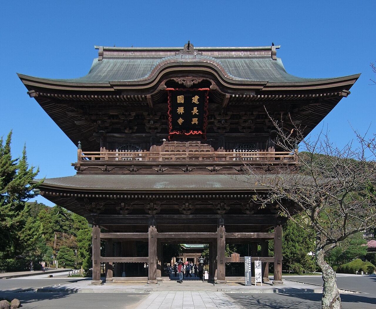
Getting to Ohira is a proper hike rather than a quick stroll, and that is part of its appeal. The classic approach begins at Kita-Kamakura Station on the JR Yokosuka Line, a stop covered by the Japan Rail Pass. From there you walk to Kencho-ji, pass through its precincts to Hansobo Shrine, and climb the tengu-lined stairs onto the Ten-en hiking course. The ridge trail then rolls northeast through forest for about an hour, with rocky steps, exposed roots and a few steep pitches that can be slick after rain, before opening onto the summit meadow. Sturdy shoes, water and daylight hours are essential, as the trail is unlit and can be disorienting once the sun drops.
The seven-kilometre Ten-en course as a whole is one of Kamakura's great walks, threading dense forest and rocky outcrops while linking the summit to Zuisen-ji temple at its far end. Reaching the highest point in the city carries a quiet satisfaction, and the sense of standing above medieval Kamakura, with the sea glinting beyond, rewards the effort of the climb. Simple public restrooms exist at points along the trail, but there are no shops or vending machines on the ridge, so carry everything you need.
Season matters greatly for the view. The cold, dry air of winter gives the clearest and most reliable sightlines to Mt Fuji, while late November sets the surrounding maples and other broadleaf trees glowing red and gold, making the walk itself a spectacle. Summer offers lush greenery but frequent haze that hides Fuji, and the humidity makes the climb harder. Allow around 90 minutes at and around the summit if you are combining it with the wider Ten-en traverse, and plan your day so you finish the descent well before dusk. For hikers who want Kamakura's biggest sky and its highest ground, Ohirayama is the destination.
A local's tip
The grassy clearing just below the true summit is the best picnic and photo spot; from here the ridge view stretches over Kamakura to Sagami Bay, with Fuji to the west on clear days.
Best time to visit
Clear, dry winter days for the widest ridge views
Getting there
From Kita-Kamakura Station on the JR Yokosuka Line, walk to Kencho-ji, climb through Hansobo onto the Ten-en hiking course, and follow the ridge northeast for roughly an hour to the open summit meadow of Mount Ohira.
Good to know
- Restrooms
Plan the whole trip offline
Mount Ohira (Ohirayama) Summit, Kamakura Alps is one of many places in the Real Japan app — with turn-by-turn directions, nearby spots and full offline maps you can use with no signal.