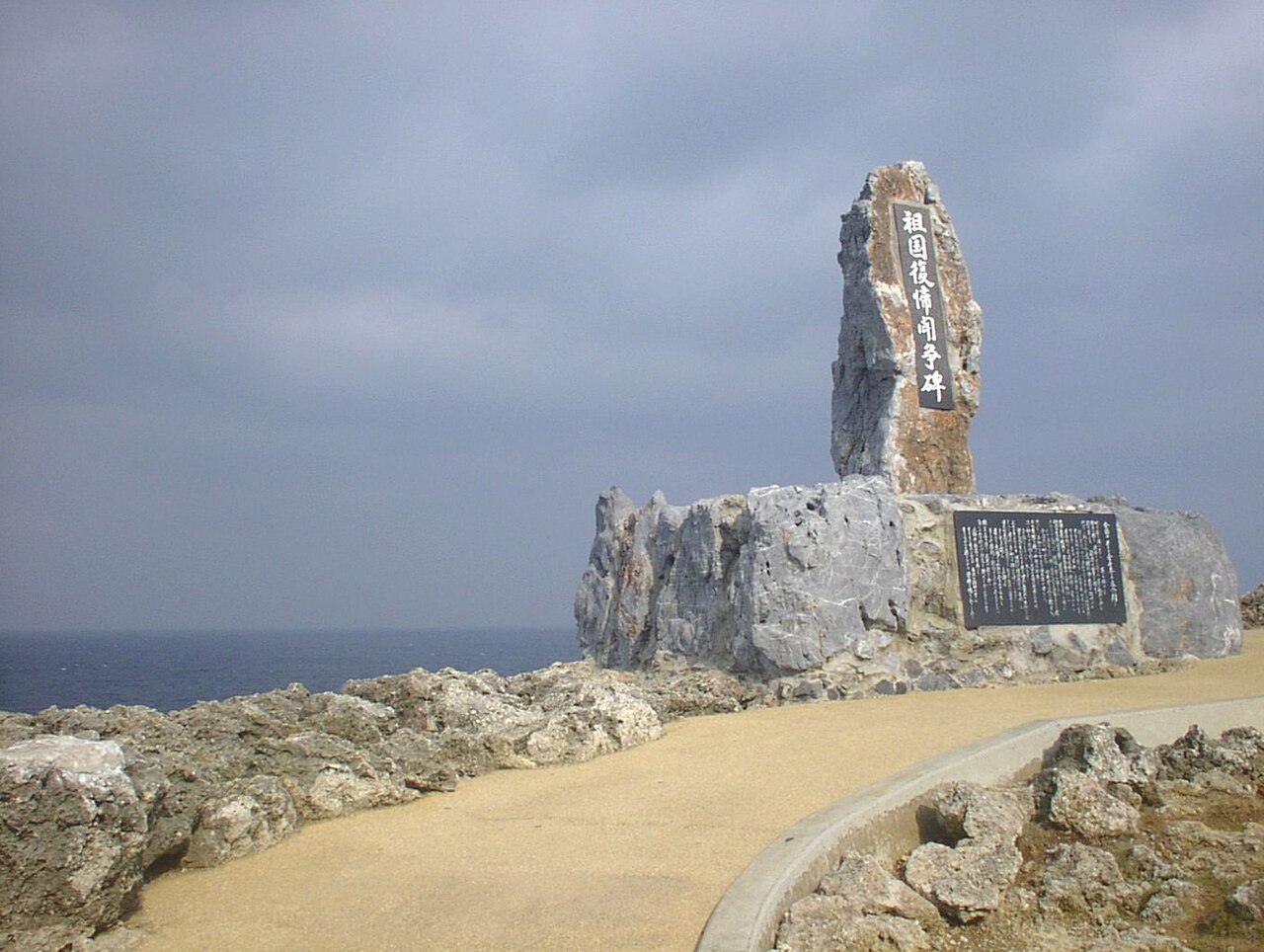
The dramatic northernmost point of Okinawa's main island, where limestone cliffs meet two seas.
Cape Hedo marks the very northern tip of Okinawa's main island, a wild promontory of raised coral limestone jutting into the ocean at the edge of the Yambaru wilderness. It is a place of elemental drama: sheer cliffs plunge into churning water, subtropical grasses and hardy shrubs cling to the rock, and on the horizon the East China Sea to the west meets the Pacific to the east. On a clear day the neighbouring island of Yoron, part of Kagoshima Prefecture, floats visibly to the north, a reminder of how far you have come from the resorts and city of the south.
The cape carries real historical weight. During the American administration of Okinawa after the Second World War, Cape Hedo was the closest point on the island to the rest of Japan, and it became a symbol of the reversion movement; local people gathered here to signal across the water toward Yoron, then already returned to Japanese control. A monument near the car park commemorates Okinawa's 1972 reversion, giving the wind-scoured headland a quiet emotional resonance beyond its natural beauty.
A network of paved paths and railings leads out across the limestone tableland to several viewpoints at the cliff edge. The rock here is ancient uplifted reef, pitted and sharp, and far below the surf explodes white against the base of the cliffs. The sound of the wind and waves is constant, and the sense of standing at land's end is powerful. Birds of prey ride the updrafts, and in the surrounding hills lies the Yambaru National Park, home to endemic species found nowhere else, including the flightless Okinawa rail and the Okinawa woodpecker.
Because it faces open ocean in almost every direction, Cape Hedo is spectacular at sunset and under big skies, and it is a favourite stop for those touring the north. The site is free, open around the clock, and equipped with parking, restrooms, and a small rest area with shops selling local snacks and souvenirs. There is little shade, so sun protection and water are wise, and the cliff edges are genuinely dangerous, so it is important to stay behind the railings, especially on windy days when gusts can be strong.
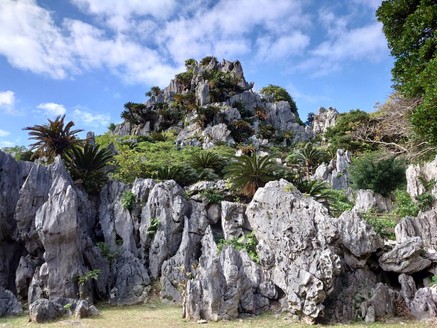
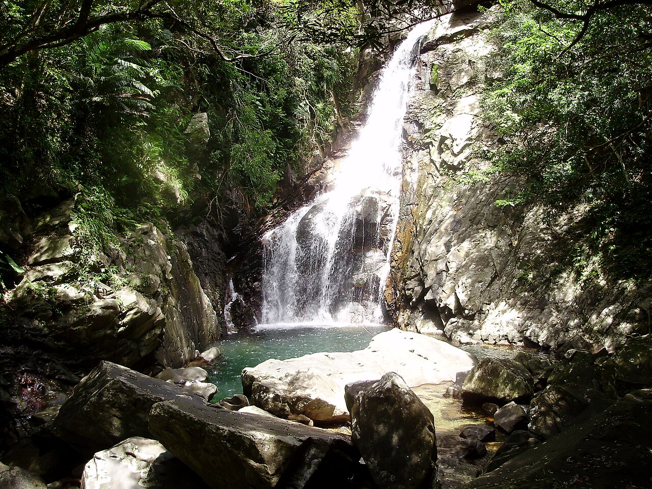
Getting here is a commitment. There is no railway in northern Okinawa, and buses to the far north are infrequent, so a rental car is essential. The drive from Naha takes around two and a half hours up the scenic Route 58, which hugs the west coast past beaches, cliffs, and sleepy villages. Many travellers make Cape Hedo the turning point of a full-day loop through Yambaru, combining it with the Daisekirinzan karst park just to the east, the Hiji Falls hike, and the quiet forests and rivers that make the north so different from the developed south. For those willing to make the journey, Cape Hedo offers something Okinawa's beaches cannot: raw, windswept grandeur at the literal end of the island.
A local's tip
On very clear days you can see Yoron Island to the north; walk out to the cliff edge for the full sweep where the East China Sea and Pacific meet.
Best time to visit
Clear days for the view to Yoron; sunset
Getting there
At the northernmost tip of Okinawa's main island in Kunigami Village. About a 2.5-hour drive from Naha up Route 58; a rental car is essential as buses are sparse.
Good to know
- Parking
- Rest area
- Restrooms
Plan the whole trip offline
Cape Hedo is one of many places in the Real Japan app — with turn-by-turn directions, nearby spots and full offline maps you can use with no signal.