The summit of Nagoya's highest peak (198m), reached by a gentle forest trail to an ancient shrine and a wide plain-and-mountain view.
Togokusan, written with characters read Togoku-san, is the highest point within Nagoya's city limits at 198 metres above sea level, rising in the far north-east of the city in Moriyama Ward near the border with Kasugai. Despite its modest height, it delivers a genuine hilltop viewpoint experience: a shaded forest trail, an ancient shrine at the top and a broad panorama over the Nobi Plain that feels a world away from the downtown skyscraper decks.
The mountain is steeped in history. Its summit is crowned by Owarito Shrine, one of the oldest sites of worship in the region, and its slopes are dotted with a cluster of ancient burial mounds, or kofun, including the Chusha and Minamisha tumuli that have been revered since antiquity. Climbing Togokusan is therefore as much a walk through Nagoya's earliest history as it is a hike for the view.
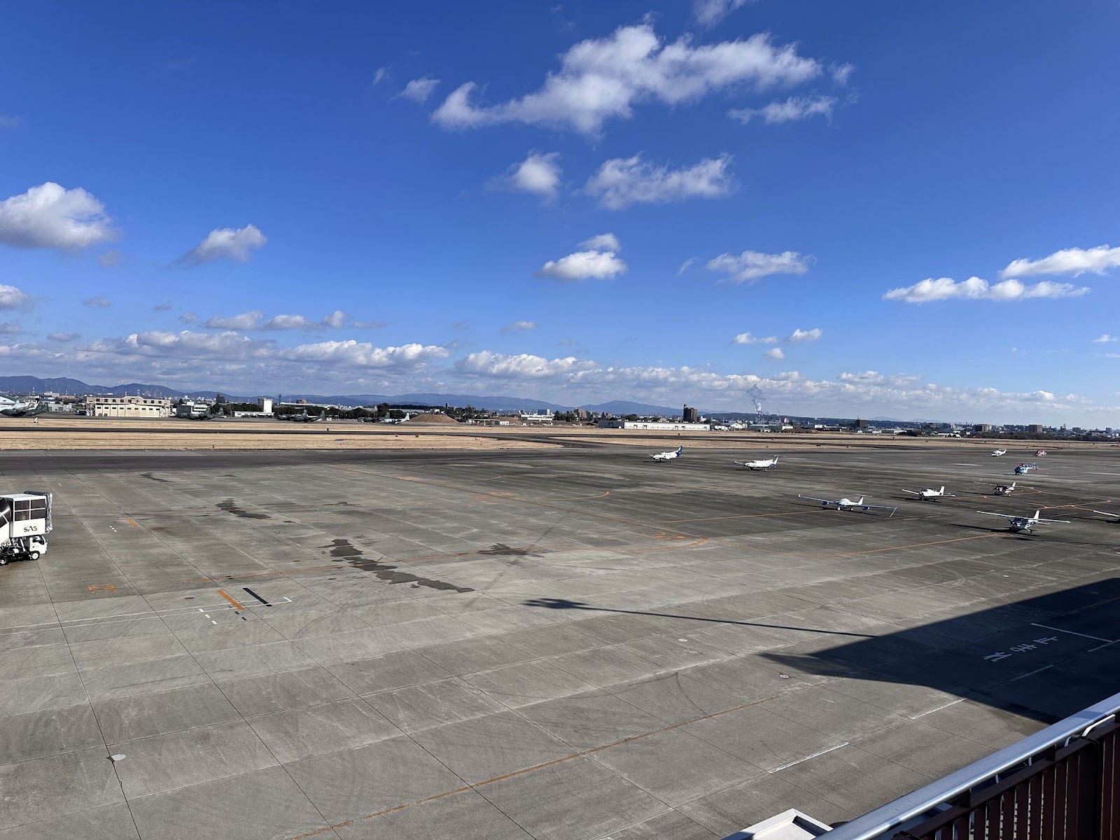
From the observation area near the summit the reward opens up: the flat sprawl of the Nobi Plain, the city of Komaki with its castle hill, and a ring of mountains on the horizon. On clear days you can pick out Mount Ibuki, Mount Kinka above Gifu, and Mount Gozaisho in the Suzuka range, while the Nagoya skyline shimmers to the south-west. Crisp winter mornings, when the air is driest, give the sharpest and most distant views.
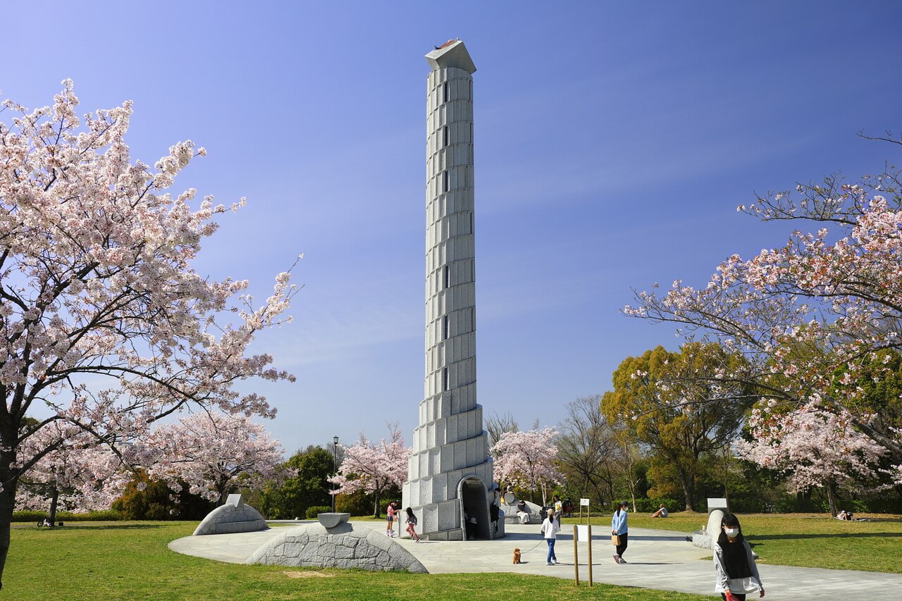
A notable feature is that the climb is very approachable for a real mountain. The main route consists mostly of well-maintained stepped trails through the trees, so it can be tackled in sturdy trainers, though proper walking shoes are safer and more comfortable. The ascent from the base takes roughly 30 to 40 minutes, and there is a toilet at the top near the shrine. At the foot of the mountain lies the free Togokusan Fruit Park, a pleasant landscaped garden of orchards and greenhouses that makes an ideal warm-up or reward.
The experience is best described as a light-to-moderate hike rather than a stroll, so it suits reasonably able walkers, families with older children and anyone who enjoys combining nature, shrines and a view. There is no entrance fee for either the mountain trail or the fruit park, and the summit is open around the clock, though daylight hours are strongly recommended for safety and for the view itself. Allow around two hours in total for the round trip and the summit.
The best seasons are spring, when blossom colours the fruit park below, and autumn, when the surrounding woodland turns; winter offers the clearest long-distance views but colder, sometimes icy steps. Summer climbs are humid and best done early in the day.
Getting there takes a little effort, which is part of why it stays peaceful. Ride the JR Chuo Line to Kozoji Station, then take a local bus or a short taxi toward Togokusan Fruit Park at the base of the mountain; from the park, follow the signed forest trail up to the summit shrine and viewpoint. Drivers will find parking at the fruit park. The JR leg is covered by the Japan Rail Pass, and IC cards work throughout, making the approach easy even if the final climb is on foot.
A local's tip
Combine the climb with the free Togokusan Fruit Park at the base, and go on a clear winter morning when the dry air lets you see all the way to Mount Ibuki and Mount Gozaisho from the summit.
Best time to visit
Clear mornings, especially crisp winter days for the far mountains
Getting there
Take the JR Chuo Line to Kozoji Station, then a local bus or taxi toward Togokusan Fruit Park at the base of the mountain; from the park a stepped forest trail climbs to the summit shrine and viewpoint in roughly 30-40 minutes on foot.
Good to know
- Shrine
- Parking
- Restrooms
Plan the whole trip offline
Togokusan Summit Observation Deck is one of many places in the Real Japan app — with turn-by-turn directions, nearby spots and full offline maps you can use with no signal.