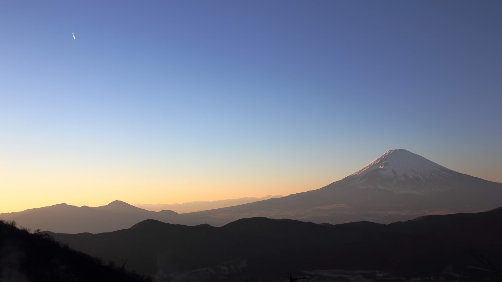
The highest peak in Hakone at 1,438 metres, a forested summit with commanding views over the caldera.
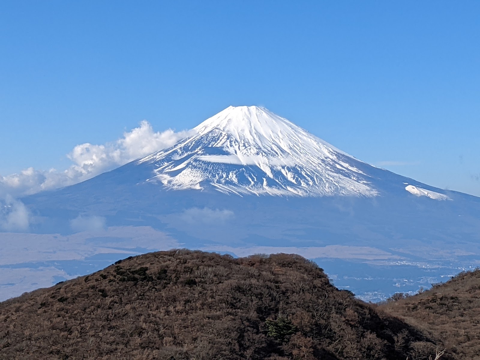
Mount Kamiyama is the highest peak in the Hakone region, rising to 1,438 metres at the very centre of the ancient caldera. It is the central cone of the Hakone volcano, formed by successive eruptions over hundreds of thousands of years, and it stands as the geological heart of the entire national park. For hikers who reach its forested summit, Kamiyama offers a quieter, more strenuous reward than the region's road-side lookouts: a sense of standing atop the mountain that made Hakone, with views stretching across the caldera to Lake Ashi and, on clear days, to Mount Fuji beyond.
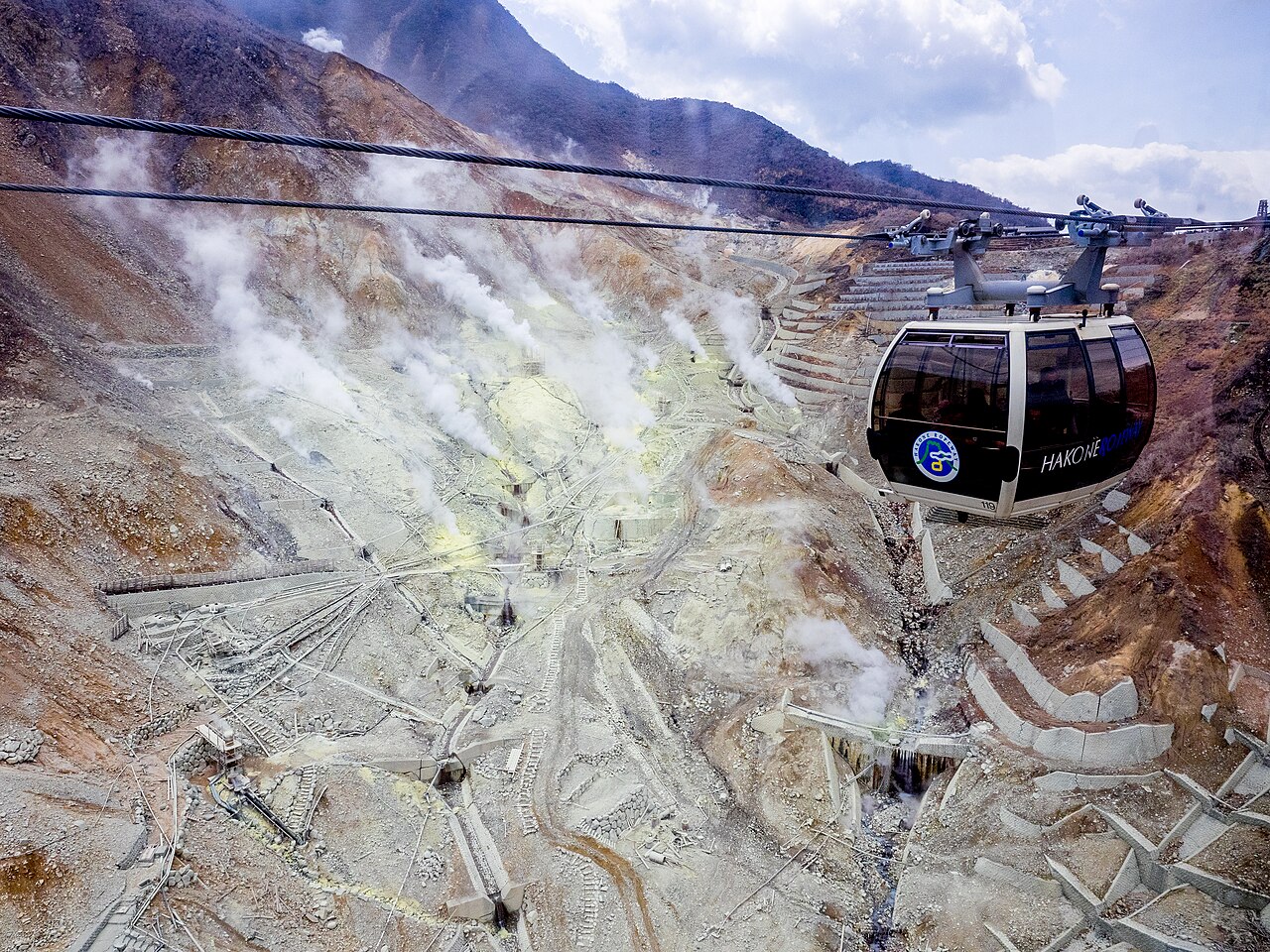
The mountain is thickly wooded, its slopes cloaked in beech, oak, and other broadleaf forest that turns spectacular shades of red and gold in autumn. Because it is the source of much of Hakone's volcanic activity — the neighbouring Owakudani valley was born of a great collapse of Kamiyama's flank some 3,000 years ago — the mountain remains geologically restless, and the hiking trails that cross it are occasionally closed when volcanic gas levels rise. When the routes are open, a network of paths climbs from the Owakudani and Komagatake areas through the forest to the summit, a moderate hike that takes a few hours round trip and rewards the effort with fresh mountain air and expansive views.
Historically the peaks of Hakone, Kamiyama among them, were regarded as sacred, and the region has long been associated with mountain worship. The summit itself is a modest, tree-fringed high point rather than a dramatic rocky peak, but the clearings and viewpoints along the upper trail open onto sweeping panoramas of the caldera below. From here the whole geography of Hakone becomes legible: the ring of the crater rim, the steaming scar of Owakudani, the blue sheet of Lake Ashi, and the surrounding ridges rolling toward the coast.
The experience is best suited to visitors comfortable with a half-day mountain walk on natural trails, with proper footwear, water, and an eye on the weather. Late spring through autumn is the ideal window, avoiding winter snow and ice; autumn in particular brings glorious foliage to the forested slopes. As with every viewpoint in the area, Mount Fuji is most reliably seen in the crisp, clear air of morning, so an early start improves both the views and the safety margin for the descent.
Crucially, before setting out for Kamiyama, hikers should confirm that the trails are open, as the paths near Owakudani are periodically closed for volcanic safety and access can change at short notice. Trail information is posted at Owakudani Station and by the local authorities. For those who reach the top on a clear day, Kamiyama offers something the crowded lookouts cannot: solitude, the deep quiet of the forest, and the satisfaction of standing on the highest point in Hakone with the sacred cone of Fuji floating on the horizon.
A local's tip
Confirm trail openings before setting out; the paths around Owakudani close periodically due to volcanic gas.
Best time to visit
Late spring to autumn, clear days
Getting there
Kamiyama is reached on foot via mountain trails; check current trail status at Owakudani, as routes near the crater are sometimes closed for volcanic activity.
Good to know
- Restrooms
Plan the whole trip offline
Mount Kamiyama is one of many places in the Real Japan app — with turn-by-turn directions, nearby spots and full offline maps you can use with no signal.