The jagged active volcano that towers over Onuma's lakes, an icon of southern Hokkaido.
Rising 1,131 metres above the lakes of Onuma, Mount Komagatake (Hokkaido Komagatake) is the defining landmark of southern Hokkaido and the sculptor of the entire landscape around it. Its ragged, multi-peaked silhouette, the result of a catastrophic 1640 eruption that blew away the original summit, forms the backdrop to almost every photograph of Onuma Park. The same eruption dammed the local rivers with debris and created the island-strewn lakes of Onuma, Konuma and Junsainuma, so the mountain and the water below are two halves of a single geological story.
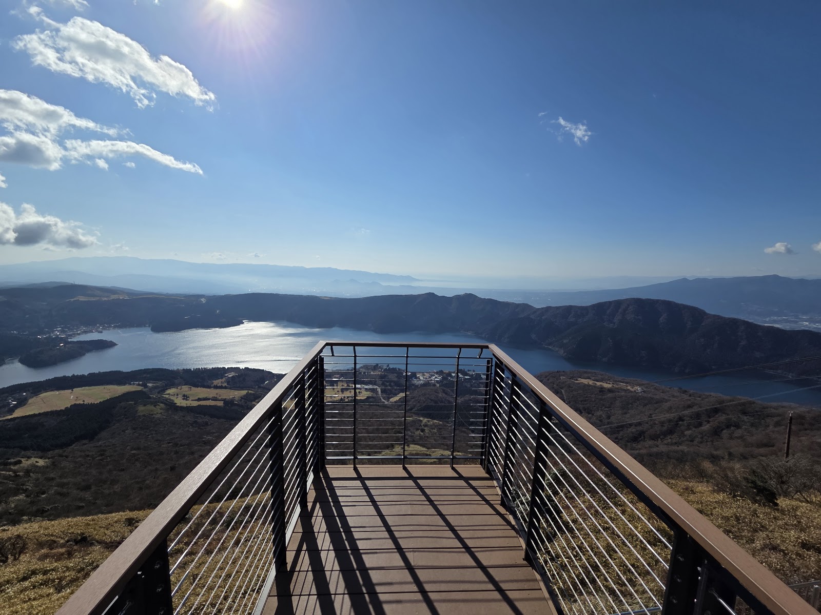
Komagatake remains an active volcano, still venting and monitored constantly, and that living quality is part of its fascination. It has erupted many times in recorded history, and access to the true summit and crater is restricted for safety; hikers may climb only as far as a designated point on the flank, from which the views over the lakes, the Pacific and the Oshima Peninsula are already superb. Before any climb it is essential to check the current volcanic-alert level, as trails can close at short notice.
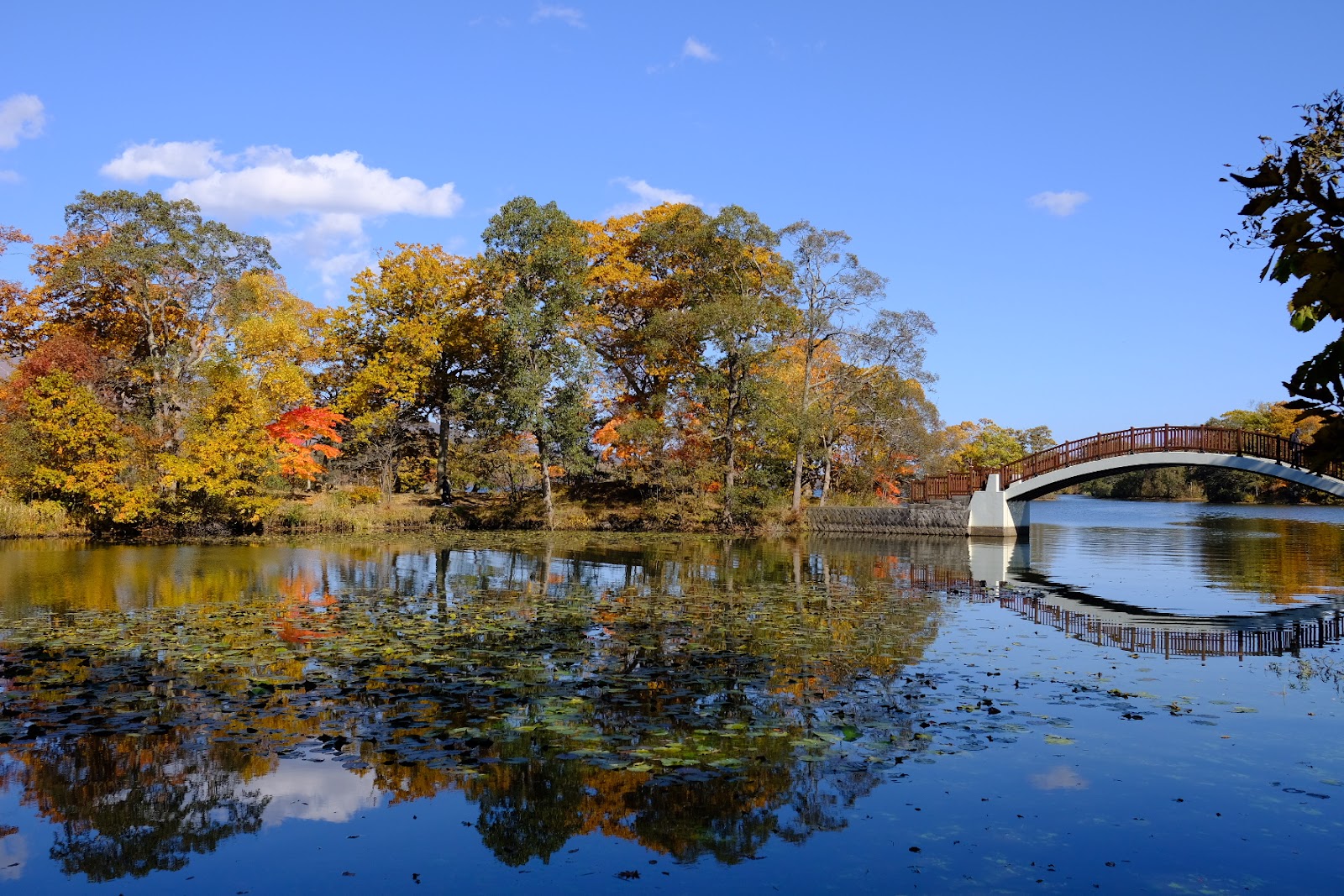
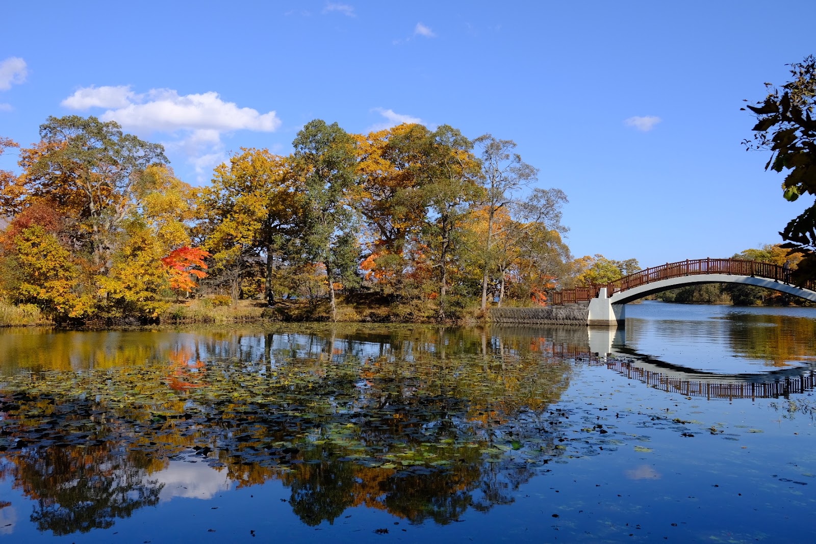
For most visitors the mountain is best enjoyed as a spectacle rather than a summit bid. From the shores and bridges of Onuma Park it presents its classic profile mirrored in still water, framed in spring by fresh green, in autumn by blazing foliage, and in winter by snow. Trailheads at Roppongi and Akaigawa give hardier walkers a chance to climb the lower slopes on clear summer and early-autumn days, when the weather is most stable and the paths are open. The moderate hike rewards effort with wide alpine panoramas, but the volcanic terrain demands proper footwear, water and respect for changing conditions.
The mountain is easy to reach as part of an Onuma excursion, roughly 40 minutes north of Hakodate. Onuma Station on the JR Hakodate Main Line puts you at the lakeshore for the postcard view, while the trailheads are best accessed by car or local bus. There is no admission charge, and the surrounding Onuma Quasi-National Park offers cycling, boating and lakeside walking trails that pair naturally with a look at the peak.
Komagatake has long inspired local culture and was even likened by earlier travellers to Mount Fuji for the way it dominates its plain, though its blasted, asymmetric crown gives it a wilder character all its own. Watching cloud stream across its peaks while swans glide on the lake below is one of the quintessential experiences of the region.
Whether you come to hike its lower slopes, cycle the lakes at its feet, or simply photograph it from the water, Mount Komagatake anchors any visit to the Onuma area. Allow at least a half day to combine the mountain views with the park below, dress for mountain weather, and treat the volcano's activity with the caution its smoking vents deserve.
A local's tip
Climbing beyond the designated point near the crater is restricted because the volcano is active; check current volcanic-alert status before setting out.
Best time to visit
Summer to early autumn for open trails and clear views
Getting there
The volcano rises above Onuma, about 40 minutes by car north of Hakodate. Trailheads at Roppongi and Akaigawa are reached by car or local bus; the classic postcard view is from the Onuma Park lakeshore.
Good to know
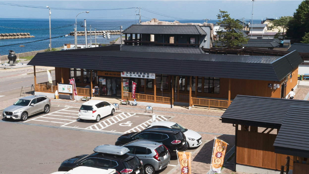
- Parking
- Restrooms
Plan the whole trip offline
Mount Komagatake is one of many places in the Real Japan app — with turn-by-turn directions, nearby spots and full offline maps you can use with no signal.