The ornate 1911 stone bridge that has marked the symbolic centre of Japan since the Edo period — the point from which all road distances are measured.
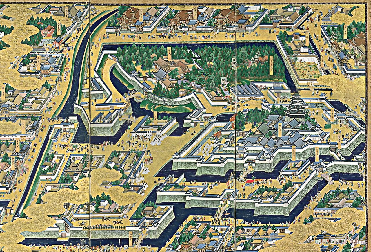
Nihonbashi, the 'Japan Bridge', is one of the most historically loaded spots in Tokyo, even if today it hides in the shadow of an elevated expressway. The first bridge was built here in 1603, the same year Tokugawa Ieyasu became shogun, and it was immediately designated the starting point of the Gokaido — the five great highways that radiated out from Edo to the rest of the country, including the famous Tokaido road to Kyoto. From that moment, distances to everywhere in Japan were measured from this single span, and the surrounding district grew into the mercantile and financial heart of the Edo capital, home to fish markets, merchant houses, and the money changers who were the ancestors of Japan's modern banks.
The bridge you cross today is the twentieth-or-so incarnation, a handsome double-arched stone structure completed in 1911 during the late Meiji era and now designated an Important Cultural Property. Its granite balustrades are decorated with ornate bronze sculptures: winged lions holding the crest of Tokyo, and mythical kirin — dragon-like beasts with wings — cast to symbolise the city's prosperity and the point from which roads spread across the nation. Look closely at the central lamp standard and you will find the wings on the kirin, an artistic flourish added so that this 'starting point' bridge would have creatures poised to take flight.
Embedded in the very centre of the road deck is the Nihonbashi Kilometre Zero marker (Nihon Kokudo Genpyo), a small bronze plaque that remains, to this day, the official reference point from which the distances on Japan's national highway signs are calculated. Standing over it, you are quite literally at the zero of the country's road map.
The great frustration of Nihonbashi is the Shuto Expressway, thrown directly overhead in a rush of construction before the 1964 Tokyo Olympics, which robbed the historic bridge of its sky. That is finally changing: a long-planned project is relocating this stretch of expressway underground over the coming years, a hugely expensive effort to return open air and daylight to the old bridge — so the view is quite literally a work in progress.
A visit is quick, free, and easy for anyone; the bridge is at street level with smooth pavements. Beyond the span itself, the district repays exploration: the flagship Mitsukoshi department store, opened here in 1673 as a kimono shop and now a landmark in its own right, sits at the north end, and seasonal river cruises depart from a pier beneath the bridge, offering a different perspective on the old waterways of Edo.
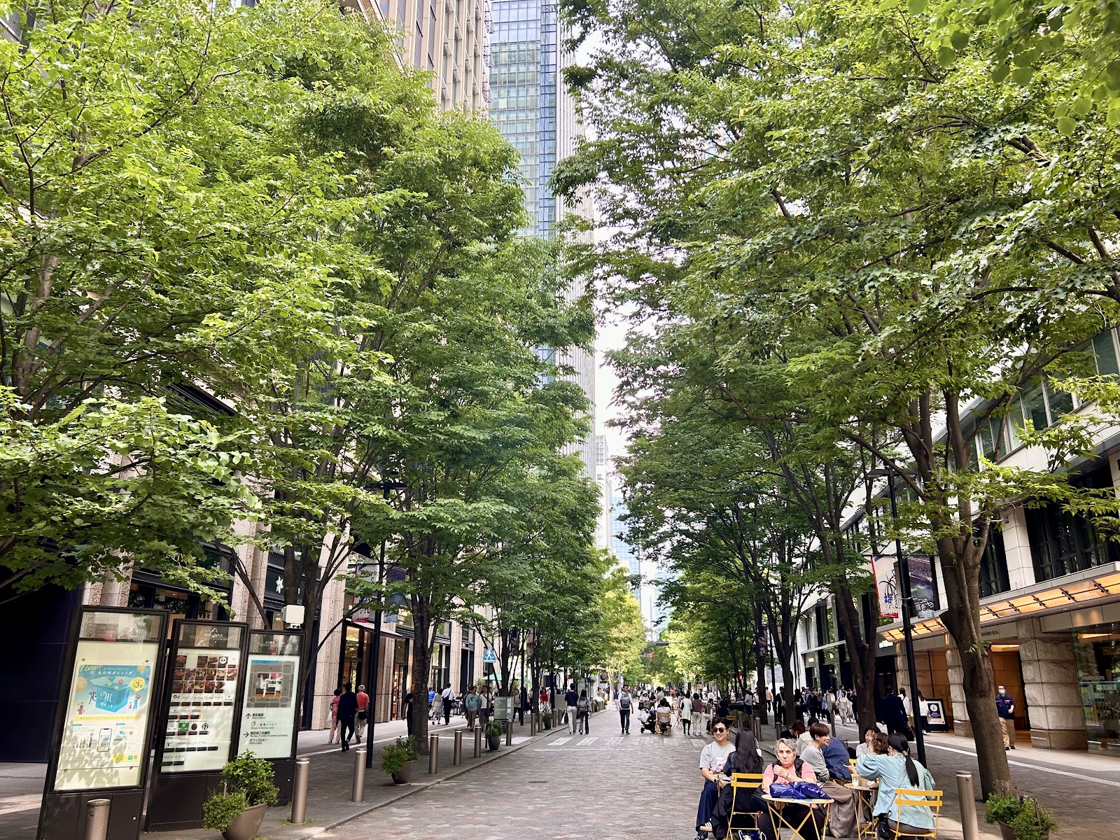
Come early in the morning for a clean look at the sculptures without traffic, then wander the surrounding streets, which blend centuries-old shops with the towers of modern finance. Nihonbashi is a two-minute walk from Mitsukoshimae Station and about eight minutes from Tokyo Station's Yaesu side, making it an easy add-on to a day in the Marunouchi and Imperial Palace area.
A local's tip
Find the small gilt-bronze marker embedded in the centre of the bridge — the Kilometre Zero point from which all of Japan's highway distances are still measured.
Best time to visit
Any time; early morning for clear photos without traffic
Getting there
A 2-minute walk from Mitsukoshimae Station (exit B5 or B6), or about 8 minutes from Tokyo Station's Yaesu north exit.
Good to know
- Restrooms
- Boat cruises
Plan the whole trip offline
Nihonbashi Bridge is one of many places in the Real Japan app — with turn-by-turn directions, nearby spots and full offline maps you can use with no signal.