Osaka's highest mountain at 1,125 metres, with summit views over the whole prefecture and rare winter snow.
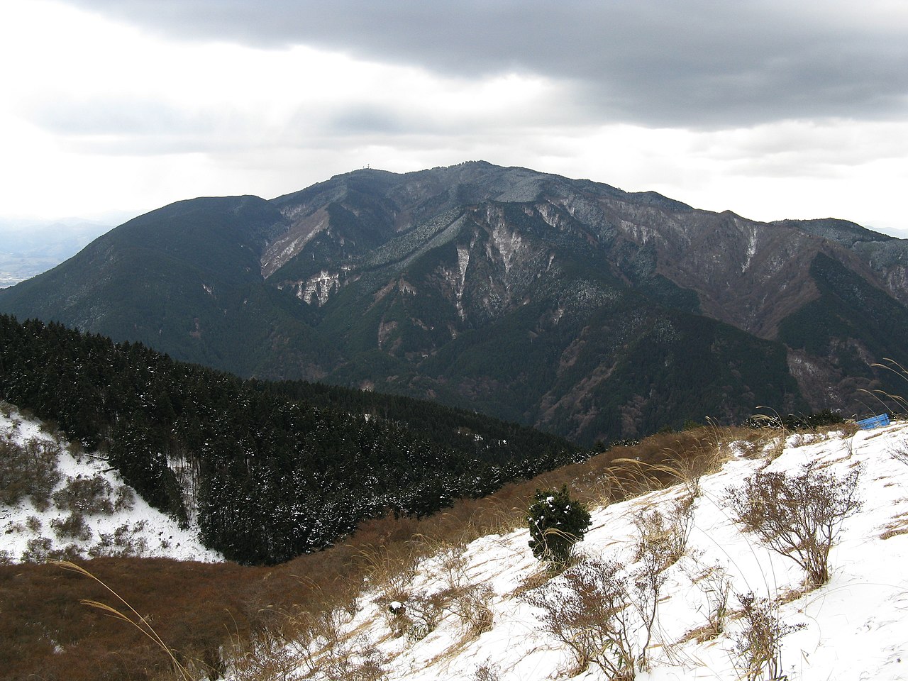
Mount Kongo, or Kongo-san, is the highest mountain associated with Osaka Prefecture, rising to 1,125 metres on the border with Nara. From its upper reaches you can, on a clear day, take in the whole of Osaka spread out below, which makes it one of the region's great natural viewpoints and one of its most popular day hikes. For a city famous for neon and street food, Kongo is a reminder that wild, forested mountains sit less than two hours from the centre.
The classic ascent starts from the Kongo Tozanguchi trailhead, reached by bus from Kawachinagano Station. The main path, the Chihara-zaka route, climbs steadily through cedar and cypress forest in a series of stone and log steps. It is a moderate rather than technical hike, taking most walkers a couple of hours to the top, and it is so beloved by locals that many count their ascents on a public tally board at the trailhead, with some regulars having climbed it thousands of times. If you would rather save your legs, a ropeway on the Osaka side historically carried visitors much of the way up, so check current operating status before you go and plan to hike or ride accordingly.
The summit area is broad and gently wooded rather than a dramatic peak, and it holds a surprising amount: the atmospheric Katsuragi Shrine, small temples, a campsite, a mountain cafe and a nature and astronomy museum, Kongo-san Prefectural Nature Park. Viewpoints along the ridge open out over the Osaka plain, the distant glitter of the bay and, in the other direction, the mountains of Nara and the Kii Peninsula. Autumn is spectacular here, the slopes turning red and gold in November, and the trees along the trail glow in the low light.
Kongo's most distinctive feature is snow. It is one of the very few places within easy reach of Osaka that reliably receives winter snowfall, and on cold days the upper forest is transformed, branches heavy with white and the trail crunching underfoot. For city residents who rarely see snow, a winter hike up Kongo is a small adventure, though it means bringing spikes or crampons for your boots, as the packed steps can turn to ice. The rime-frosted trees near the summit, known as juhyo, are a genuine winter highlight.
The mountain has deep spiritual roots. It has long been associated with the En no Gyoja, the legendary founder of the Shugendo mountain-ascetic tradition, and the shrines and small halls scattered across the summit reflect centuries of worship. Walking the forested paths, past mossy stones and quiet shrines, you sense why these mountains were considered sacred.
To reach the trailhead, ride the Nankai Koya Line to Kawachinagano Station, then take a Nankai bus roughly 35 minutes to the Kongo Tozanguchi stop, or continue to the Chihaya ropeway stop. Wear proper footwear, carry water and check the season, but reward yourself with a summit lunch and a view that takes in almost the entire prefecture. For hikers, Kongo is the definitive Osaka mountain.
A local's tip
Kongo is one of the few places near Osaka that reliably gets winter snow, so pack spikes in the cold months and time a clear day for the whole-prefecture summit view.
Best time to visit
Late autumn for foliage, or winter for rare Osaka snow
Getting there
From Kawachinagano Station (Nankai Koya line) take a Nankai bus about 35 minutes to the Kongo Tozanguchi trailhead, or to the Chihaya ropeway stop; hike or ride the cable car up toward the summit ridge.
Good to know
- Cafe
- Shrine
- Campsite
- Restrooms
Plan the whole trip offline
Mount Kongo is one of many places in the Real Japan app — with turn-by-turn directions, nearby spots and full offline maps you can use with no signal.