At 901m the highest peak around Kitakyushu, a grassy summit with sweeping views from the Chikuho basin to the sea.
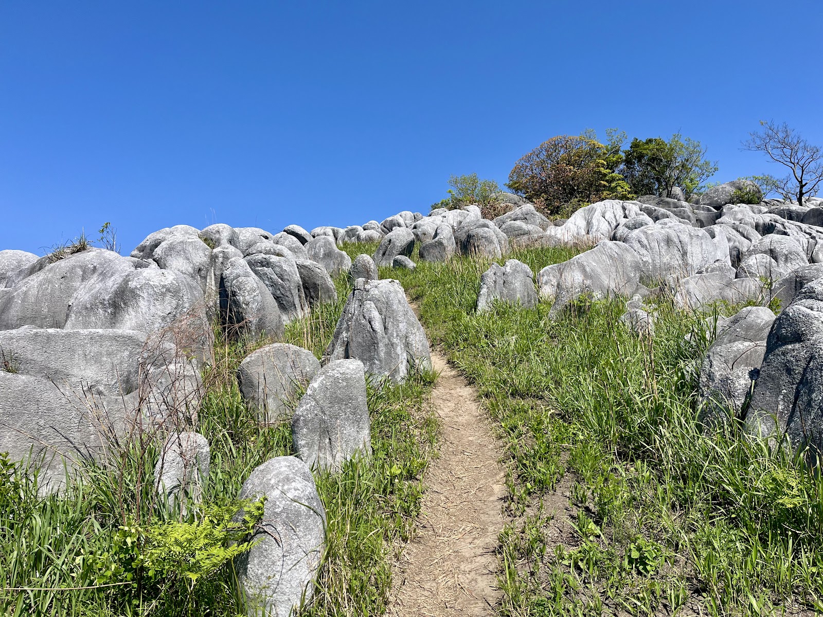
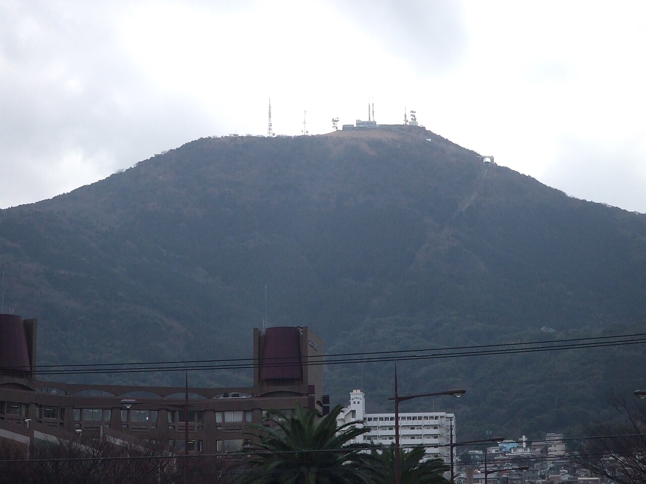
Mount Fukuchi (Fukuchiyama) is the great green dome that dominates the skyline between Kitakyushu and the old coal-mining basin of Chikuho. At about 901 metres it is the highest and most prominent peak in the northeastern corner of Fukuoka Prefecture, straddling the boundary of Kitakyushu and Tagawa, and its broad, grassy summit offers one of the widest and most satisfying panoramas anywhere in the region - a proper mountaintop reward for those willing to make the climb.
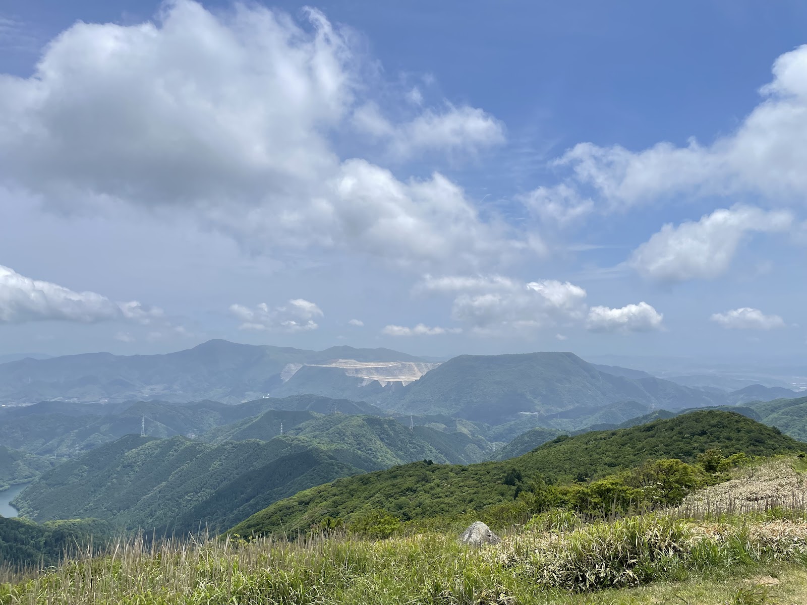
The mountain has long been a landmark for the communities below, tied to local legend and to the history of the Chikuho coalfields whose towns ring its base. Unlike Fukuoka's forested peaks, Fukuchiyama's upper slopes open out into rolling meadow-like grassland near the top, so the summit feels expansive and airy, with nothing to block the view. On a clear day the outlook is vast: the Chikuho basin and its rivers spread to the south and west, the industrial cities and coast of Kitakyushu lie to the north, and beyond them the sea and the Kanmon Strait can be glimpsed, with layer upon layer of Kyushu mountains fading into the distance. It is the kind of 360-degree panorama that makes the effort of the ascent feel thoroughly earned.
Because it is a high mountain, Fukuchiyama demands real hiking. Several trails lead to the top from trailheads scattered around its base, and a full round trip commonly takes around four hours or more depending on the route, with steady climbs and some steeper, rougher sections near the summit ridge. Proper footwear, plenty of water, weather-appropriate layers and an early start are essential; the exposed grassy top can be windy and cold even when the valleys below are mild. In return you get solitude, fresh mountain air and views that few visitors to Fukuoka ever see.
The mountain is at its best in the clear, dry months. Autumn brings colour to the forested lower slopes and superb long-distance visibility, winter offers the sharpest, farthest views and sometimes frost or a light dusting of snow on the summit grass, and spring clothes the mountain in fresh green. Humid summer days are often hazy, veiling the distant sea and mountains.
Getting to the trailheads involves reaching the Tagawa or Kitakyushu foothills - by JR Nippo Line and the local Heisei Chikuho Railway, or by car - and then continuing to a mountain trailhead by taxi or private vehicle, where parking is available. This is very much an outing for active travellers rather than casual sightseers, but for hikers seeking the grandest natural viewpoint in the Kitakyushu area, the summit of Mount Fukuchi is a memorable high point of any Fukuoka trip.
A local's tip
The summit is a broad grassy dome - superb for a clear-day panorama across northern Kyushu; start early, as this is a longer, tougher climb than the city viewpoints.
Best time to visit
Clear autumn and winter days
Getting there
From the Tagawa or Kitakyushu foothills reach a Fukuchiyama trailhead by car or taxi, then hike the ridge trails to the grassy 901m summit for views spanning the Chikuho basin to the sea.
Good to know
- Parking
- Restrooms
Plan the whole trip offline
Mount Fukuchi is one of many places in the Real Japan app — with turn-by-turn directions, nearby spots and full offline maps you can use with no signal.