A 112m hill in northern Kyoto, the ancient survey point for Heian-kyo, with an easy climb to a city panorama.
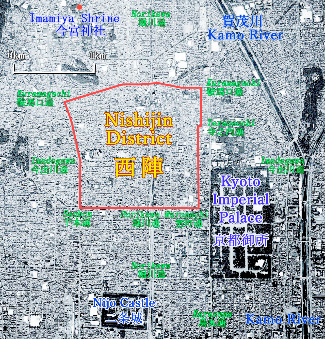
Funaokayama is a gentle hill of just 112 metres in the northern part of Kyoto, developed into Funaokayama Park — reputedly the city's first public urban park. It is easy to overlook, yet few spots are more deeply bound up with Kyoto's origins. When the capital of Heian-kyo was laid out in 794, Funaokayama, sitting precisely on the northern extension of the city's central axis, is believed to have served as the survey point from which the great grid of streets was aligned. In the geomantic thinking of the age it was regarded as the sacred "land of Genbu," the black tortoise guardian of the north, one of the four directional gods that were held to protect and balance the new capital.
The hill has witnessed dramatic history. It was the execution ground where the defeated Minamoto no Tameyoshi and his sons met their end after the Hogen Rebellion of 1156, and during the ruinous Onin War of the 15th century a fortress, Funaokayama Castle, was raised on its slopes as rival warlords barricaded themselves in. Today those turbulent centuries have given way to a peaceful wooded park criss-crossed by easy paths, where locals come to walk, exercise and picnic among the pines.
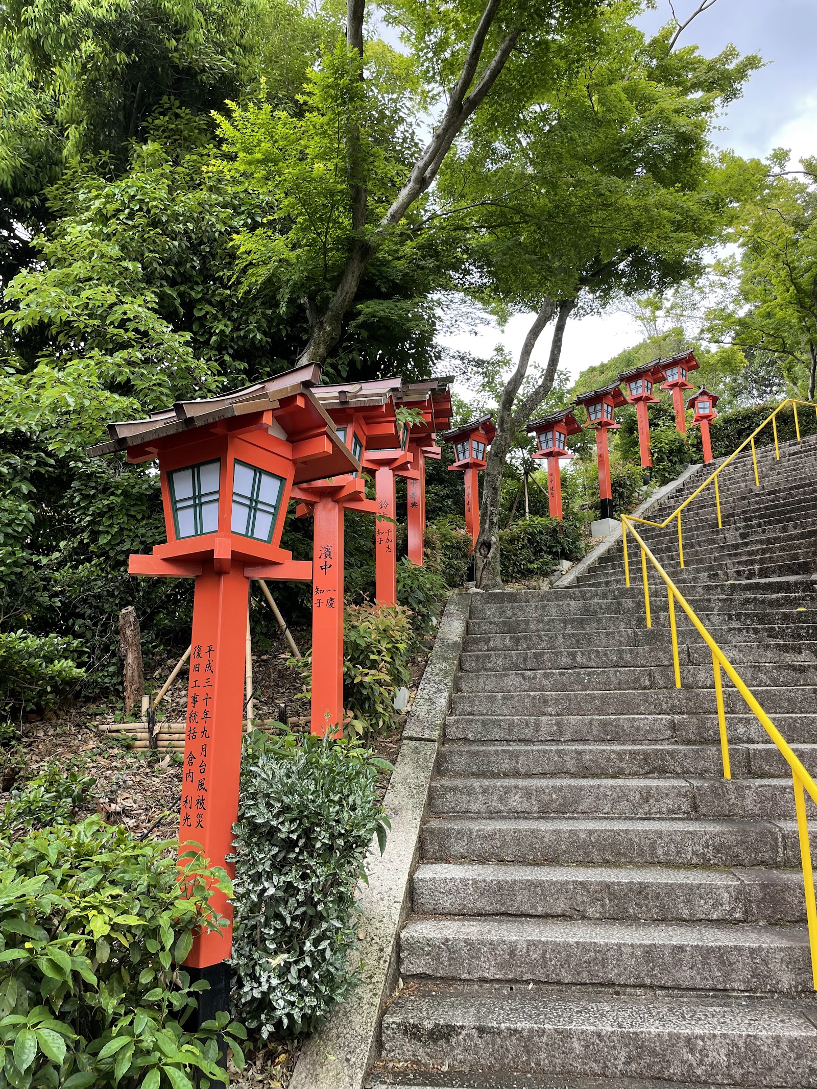
On the mountain's flank stands Kenkun Shrine, more formally Takeisao Shrine, which enshrines the spirit of the great Sengoku-period warlord Oda Nobunaga, the man who did more than any other to unify a fractured Japan before his betrayal at Honno-ji. The shrine was established by imperial order of Emperor Meiji in 1869 in recognition of Nobunaga's role, and its quiet precinct on the middle slope adds a further layer of history to the climb. The approach up its stone steps is itself part of the pleasure of the visit.
The reward at the top is a genuine panorama, remarkable for so small a hill. Because it sits on high, open ground with a long sightline south down the ancient axis, the summit offers a particularly clear view of Mount Daimonji and Mount Hiei to the east, their forms instantly recognisable. Looking south across the city on a clear day, you can pick out the orange spike of Kyoto Tower and, further still, the distant outline of Fushimi Momoyama Castle some 15 kilometres away. It is a wonderful place to grasp the geography of Kyoto — to see how the old capital was fitted between its guardian mountains.
Spring is the most popular season, when cherry blossom fills the park and locals gather beneath the trees, and autumn brings warm colour to the slopes. The climb is short and suitable for all ages, with benches, restrooms and shaded paths, making it an easy and rewarding detour rather than an expedition. It pairs naturally with a visit to the nearby great Zen temple complex of Daitoku-ji, only a few minutes' walk away.
To reach it, take the Karasuma subway line to Kitaoji and walk about 20 minutes west, or catch a city bus to the Kenkun-jinja-mae or Funaokayama stop. Entry is free and open at all hours, and for anyone curious about how Kyoto came to be laid out as it is, this quiet green hill offers both the answer and a fine view over the result.
A local's tip
On a clear day you can pick out Kyoto Tower and even Fushimi Momoyama Castle some 15km away — this small hill was the survey point used to lay out the entire ancient grid of Heian-kyo.
Best time to visit
Clear afternoons for views to Daimonji and Hiei; early April for cherry blossom
Getting there
In northern Kyoto near Daitoku-ji. From Kitaoji subway station walk about 20 minutes west, or take a city bus to the Kenkun-jinja-mae or Funaokayama stop; short paths lead up to the summit.
Good to know
- Benches
- Restrooms
Plan the whole trip offline
Funaokayama Park Viewpoint is one of many places in the Real Japan app — with turn-by-turn directions, nearby spots and full offline maps you can use with no signal.