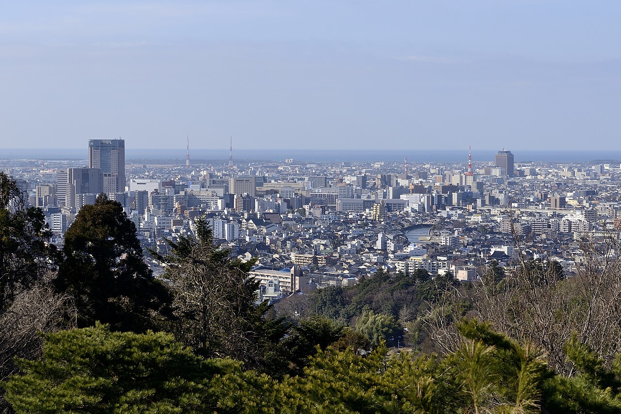
Kanazawa's broad "masculine" river, with open banks, blossom-lined walks and easy access to the Nishi Chaya and Teramachi districts.
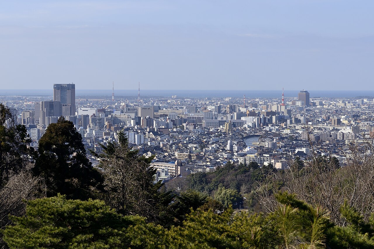
If the Asano River is Kanazawa's gentle, feminine waterway, the Sai River is its bold masculine counterpart. Sweeping across the southwestern side of the old city, the Sai—known locally as the "otokogawa," or masculine river—is broader, faster and more open than its northern sibling, with wide gravel banks, long clear sightlines toward the mountains, and an unhurried, local character that rewards travellers looking to see Kanazawa away from the tourist trail.
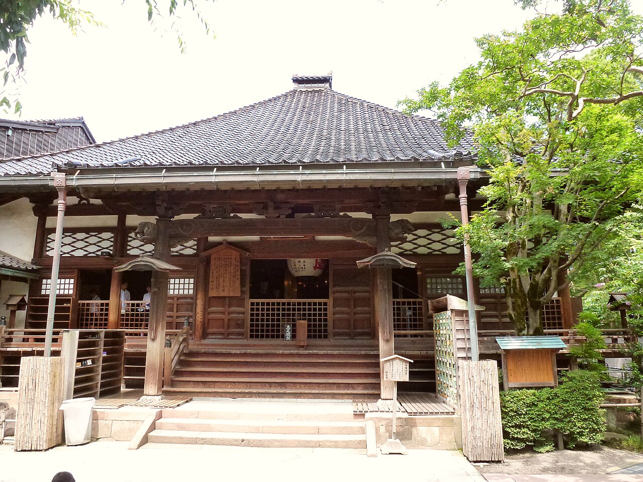
The river has shaped this side of the city for centuries. Its banks border two of Kanazawa's most evocative old quarters: the small, refined Nishi Chaya geisha district, with its handful of preserved teahouses, and the atmospheric Teramachi temple district on the high ground of the south bank, where dozens of temples—including the famous "Ninja Temple," Myoryu-ji—cluster along narrow lanes. Crossing the landmark Saigawa Ohashi bridge, with its distinctive early-20th-century ironwork, links these districts and marks the traditional gateway between the city centre and its southern reaches.
Where the Asano charms with intimacy, the Sai impresses with breadth and light. The open riverbed gives a rare sense of sky and space in the dense old city, and on clear days the mountains of the Hokuriku interior rise beyond the upstream reaches. In spring, long rows of cherry trees line the embankments and draw locals for hanami picnics on the grassy banks; in summer, the wide gravel flats become impromptu playgrounds and sports grounds; and throughout the year the riverside paths are the domain of joggers, cyclists, dog-walkers and families rather than tour groups. This everyday, lived-in quality is precisely the appeal—the Sai River is where you see how Kanazawa's residents actually use their city.
A riverside walk here pairs naturally with the surrounding sights. From the water you can climb into the Teramachi temple district to visit Myoryu-ji's ingenious defensive architecture, wander the quiet lanes of Nishi Chaya for tea and sweets, or follow the embankment upstream toward greener, more open country. The contrast with the lantern-lit teahouse stretch of the Asano makes visiting both rivers a satisfying way to understand the twin poles of the old city.
As a public riverside, the Sai is free and always open, though daylight best shows off its views and blossoms. Allow around forty minutes for a relaxed walk along one bank and across a bridge, longer if you detour into Teramachi or Nishi Chaya. Paths and embankments are flat and easy, with benches, sports grounds and open space along the way.
Getting there is straightforward: from Kanazawa Station take the Kanazawa Loop Bus to the Hirokoji or Nomachi stops, a short walk from Saigawa Ohashi. Come for the open air, the blossom in season and the everyday rhythm of Kanazawa life, then use the river as a springboard into the temples and teahouses of the city's southern side.
A local's tip
Cross Saigawa Ohashi and climb into the Teramachi temple district on the south bank, then walk down to the water's edge—the broad open riverbed here is a favourite local spot for joggers and blossom picnics, with none of the tourist crowds of the Asano side.
Best time to visit
Spring for blossom-lined banks; clear days for mountain views upstream
Getting there
Crosses the southwestern side of the old city near the Nishi Chaya district and Teramachi temple area. From Kanazawa Station take the Loop Bus to Hirokoji or Nomachi, a short walk to the Saigawa Ohashi bridge.
Good to know
- Benches
- Sports ground
- Riverside path
Plan the whole trip offline
Sai River is one of many places in the Real Japan app — with turn-by-turn directions, nearby spots and full offline maps you can use with no signal.