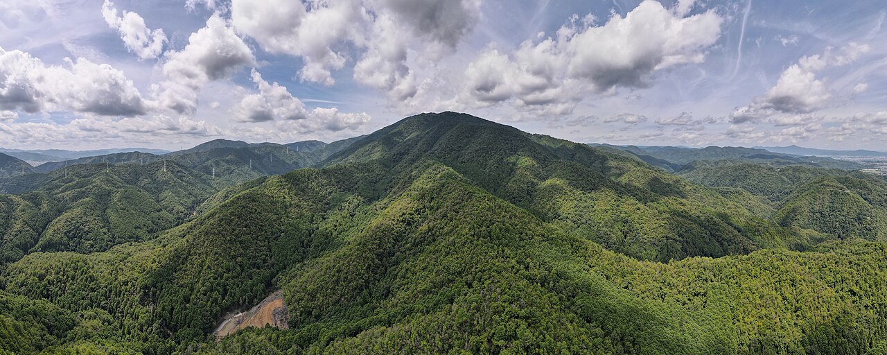
Kyoto's tallest peak at 924m, a demanding pilgrimage hike to a fire-god shrine with wide views over the city.
At 924 metres, Mount Atago is the tallest peak overlooking Kyoto, rising on the far northwestern rim of the basin beyond Arashiyama. For centuries it has been a sacred mountain and a place of pilgrimage, crowned by Atago Shrine, the head of some 900 Atago shrines across Japan and the home of the Shinto deity that protects against fire. In a city built overwhelmingly of wood and repeatedly devastated by conflagration, that protection mattered enormously, and to this day countless Kyoto kitchens and restaurants hang the shrine's "hi-no-yojin" fire-safety amulets above their stoves.
The climb is a genuine mountain hike and should not be underestimated. The classic route begins in the small village of Kiyotaki, where a stone torii marks the start of the old pilgrimage path. From there the trail ascends relentlessly, gaining well over 800 metres across a distance of around 3.7 to 4 kilometres, much of it on stone steps worn smooth by generations of worshippers. Depending on fitness and stops, the round trip takes most walkers three to five hours. Numbered stone markers count down the stages of the ascent, and the deep cedar forest is dotted with the ruins of old teahouses and rest halls, ghosts of the days when the mountain teemed with pilgrims.
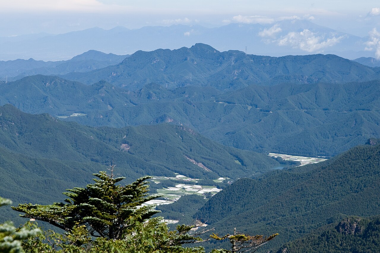
The effort earns two distinct rewards. The first is the shrine itself: after a final, punishing flight of steps you emerge at the summit precinct, an atmospheric complex of weathered wooden halls set among towering trees, often wrapped in cool mist even when the city below swelters. Ringing bells, mossy lanterns and the scent of cedar create a powerful sense of remoteness and antiquity. The second reward comes on clear days at the openings along the ridge, where the forest parts to reveal broad views over Kyoto, the Hozu River gorge and the surrounding ranges rolling away to the horizon.
Because of its elevation, Atago holds its own weather. Summers are humid and the climb is hot work, so an early start and plenty of water are essential; winters can bring snow and ice to the upper slopes, occasionally making the steps treacherous, and the summit is noticeably colder and windier than the valley. Spring and autumn are the ideal seasons, offering comfortable temperatures and, in November, brilliant foliage along the lower trail. Alternative routes climb via Kuya Falls and Tsukinowa Temple for those wanting a longer loop.
This is a viewpoint for those who enjoy earning their panoramas. There are no cable cars or shortcuts to the top; the mountain is reached only on foot, which keeps it quiet and rewards hikers with solitude and a strong sense of accomplishment. To get there, take the JR Sagano Line to Saga-Arashiyama and a local bus toward Kiyotaki, the trailhead hamlet. Wear proper hiking footwear, carry water and snacks, start early enough to descend well before dusk, and treat the shrine and forest with the reverence that has surrounded this sacred summit for over a thousand years.
A local's tip
Pick up an 'hi-no-yojin' fire-protection charm at the summit shrine — Atago is the god of protection from fire, and Kyoto kitchens have hung these amulets for centuries.
Best time to visit
Spring and autumn for comfortable hiking; clear days for the summit panorama
Getting there
From Saga-Arashiyama Station take a bus toward Kiyotaki, the trailhead village. The main pilgrimage trail climbs steeply through forest to Atago Shrine at the summit; allow 3-5 hours round trip.
Good to know
- Water
- Restrooms
Plan the whole trip offline
Mount Atago is one of many places in the Real Japan app — with turn-by-turn directions, nearby spots and full offline maps you can use with no signal.